
Mission planning intends to give everyone involved a clear understanding of the ground.
The platform release 3.12 enables key features, allowing teams to explore terrain from ground and aerial perspectives within the same shared environment.
The outcome is what we describe as “future memory”: entering the mission area with a sense that you have already been there. Familiarity with routes, elevation and landmarks reduces the attention needed for orientation, leaving more headspace for decisions.
Large terrain support, and the new Flythrough function lets operators survey loaded terrain from the air at real-world scale. They can examine approaches, changes in elevation and vantage points, extending preparation to longer-distance rotary-wing and unmanned-system mission rehearsals. And of course, that will allow line-of-sight later on.
Several participants can explore independently at the same time while remaining in one collaborative session. Their positions stay visible to the team, and their aerial surveys leave the shared ground-level terrain unchanged. Teams can investigate different areas in parallel and bring their observations back into the planning discussion.
Clearer spatial references help turn those observations into a brief. The redesigned compass supports communication by direction and bearing, a new scale reference makes distances easier to judge, and altitude is now expressed as height above ground.
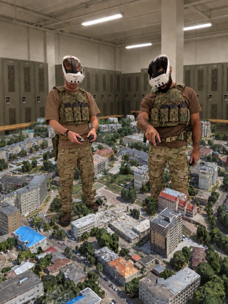
A relevant aspect for safe planning: participants can meet from separate locations, without spending planning time travelling to assemble in one room. Whether the available time is half an hour or several days, units can make the most out of the available time.
Release 3.12 also introduces Force-on-Force training and additional close-quarters environments, continuing to support mission preparation and readiness on one platform.
Download the tech sheet, and detailed release scope in the partner area
(Accessible for customers only.)